
TRIP RECORD · July 25–26, 2026
Northern New England
A two-day reconnaissance through New Hampshire and Maine
FIELD PHOTOGRAPHY
From the route
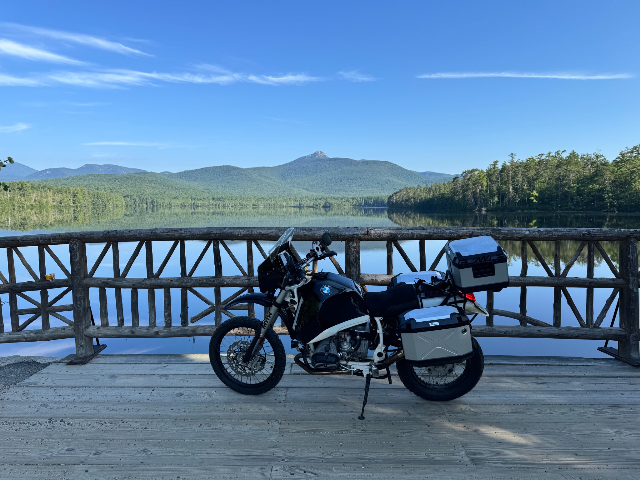
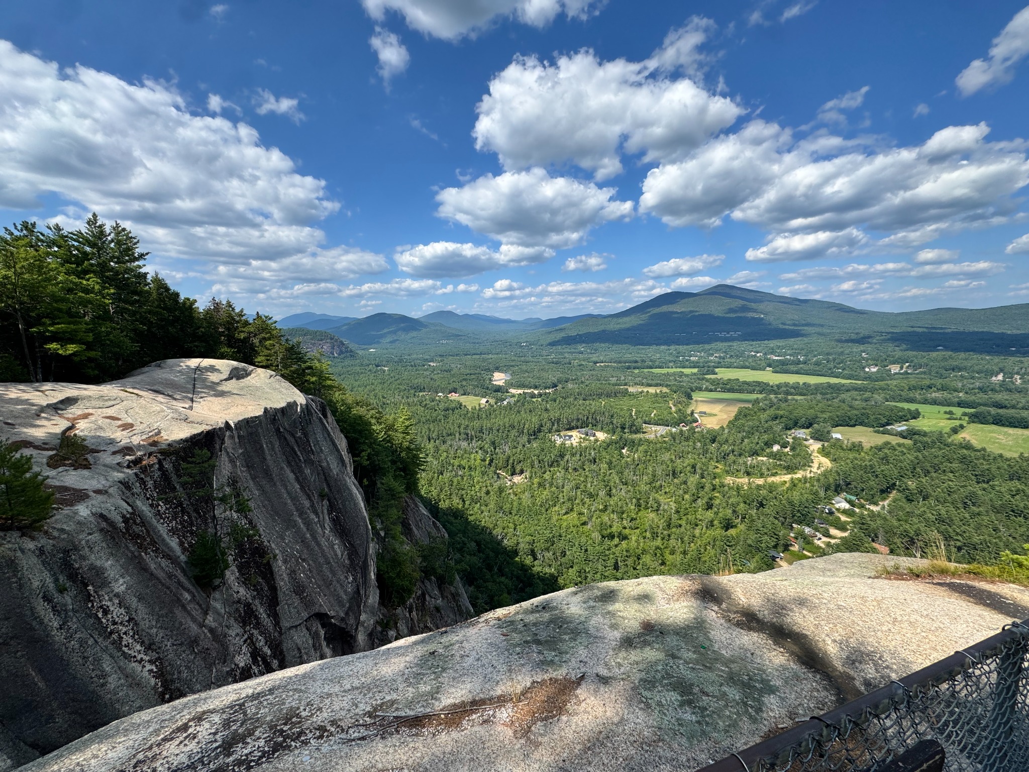
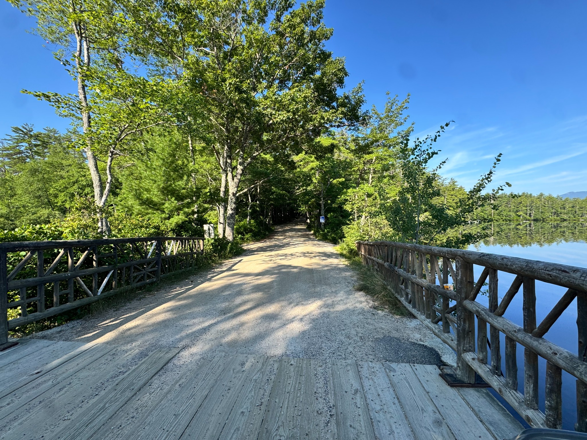
ROUTE EVIDENCE
Recorded route
Map data © OpenStreetMap contributors.
FIELD LOG
Daily record
July 25, 2026
Day 1
- Distance
- 226.7 mi
- Recorded time
- 6.7 hr
- Source tracks
- 12
- Elevation range
- 21–1816 ft
July 26, 2026
Day 2
- Distance
- 324.5 mi
- Recorded time
- 9.7 hr
- Source tracks
- 15
- Elevation range
- 16–2044 ft
OBSERVATIONS
Trip notes
July 25, 2026 · lodging
Attitash Mountain Village
With the campgrounds full, Attitash Mountain Village provided a wonderful overnight stay and a comfortable White Mountains base.
July 26, 2026 · navigation
Wrong turn: back to Durgin Bridge
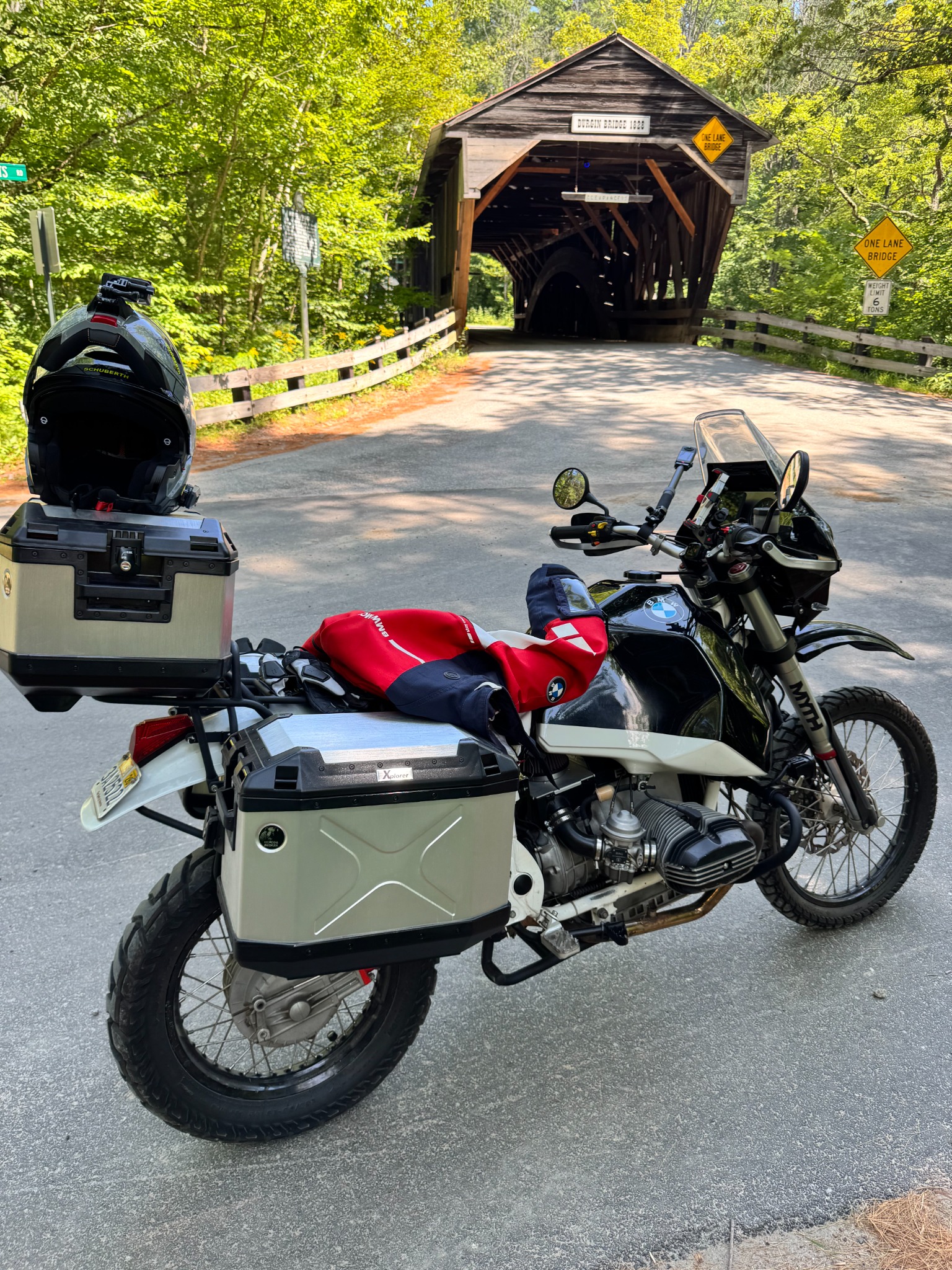
Day 2 began with a navigation mistake entirely of my own making. I set off in the wrong direction and did not realize it until I arrived back at Durgin Bridge. The relatively dense settlement along the way had struck me as surprising—but apparently not surprising enough to make me question my direction. I kicked myself for potentially missing one of the trip’s backcountry highlights. Rather than ride the same dirt roads for a third time, I continued to Gorham on asphalt to preserve enough daylight to reach Maine. It was not the intended BDR route, but it was a beautiful ride nonetheless. Once I reached Gorham, I was back on BDR-NE7 and followed it to Lovell and stopped for lunch at Kezar Lake. Lesson learned: pay close attention to the direction in which you set off; even a very capable GPS cannot protect its rider from confidently heading the wrong way. 😂
July 26, 2026 · meal
A healthy lunch at Kezar Lake Marina
The restaurant team catered thoughtfully to my health-focused dietary needs and served a wonderfully healthy meal—a genuinely memorable lunch break on the route.
July 26, 2026 · fuel
Londonderry–Fryeburg fuel interval
The R80ST used 10.0 U.S. gallons between the Londonderry and Fryeburg fuel stops. Distance and fuel economy are derived from the preserved Garmin recording. This should be treated as observed trip economy, not as a clean tuning baseline. After the tank had been removed for electrical troubleshooting, the throttle and enricher cables or their splitters were likely disturbed. The engine ran somewhat louder than usual and backfired on closed-throttle descents. Several by-ear adjustments eliminated the backfiring and produced smooth highway running, but repeated checks with the pressure-gauge carburetor balancer have shown that my ear is not precise enough to confirm synchronization. Maintenance note: after any tank removal, verify throttle and enricher cable and splitter seating, then recheck carburetor synchronization.
- Recorded distance
- 365.7 mi
- Fuel used
- 10 U.S. gal
- Fuel economy
- 36.6 mpg
Londonderry, NH → Fryeburg, ME · distance source: Garmin GPX
July 26, 2026 · reliability
Custom electrical system: field-proven
The R80ST’s completely customized electrical system and wiring harness completed the 551.2-mile trip without issue—an important validation under sustained real-world use.
This first trip is also the proving ground for the Trips framework. The map, daily grouping, statistics, and GPX download are generated reproducibly from the recorded route.
The first field photographs, fuel interval, lodging and meal stops, and a reliability observation are now part of the record. Additional journal and maintenance material can be added as it is curated, without coupling those sources to one presentation.