Select a stop to center the map and open its full description. Unassigned stops show a placeholder.
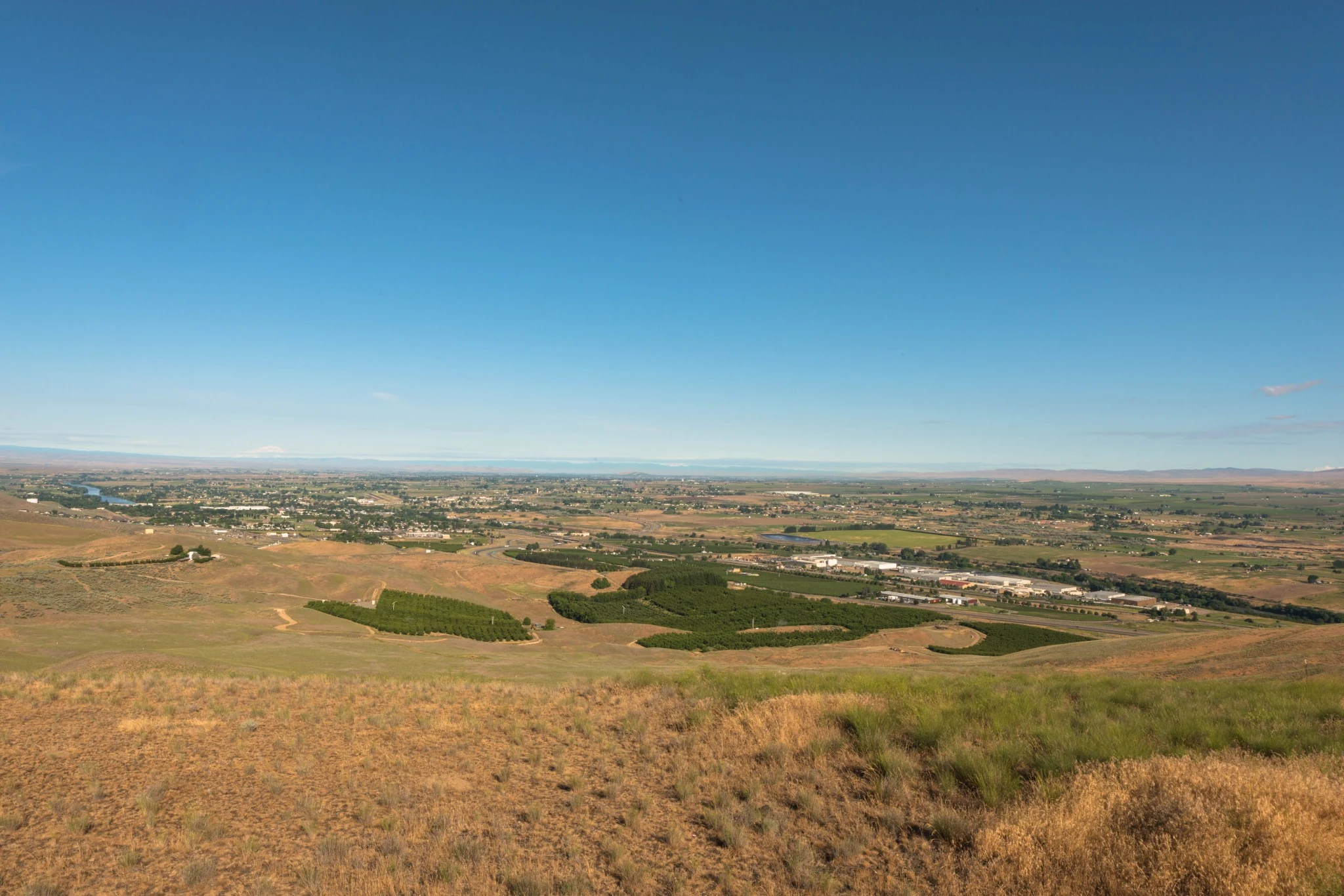
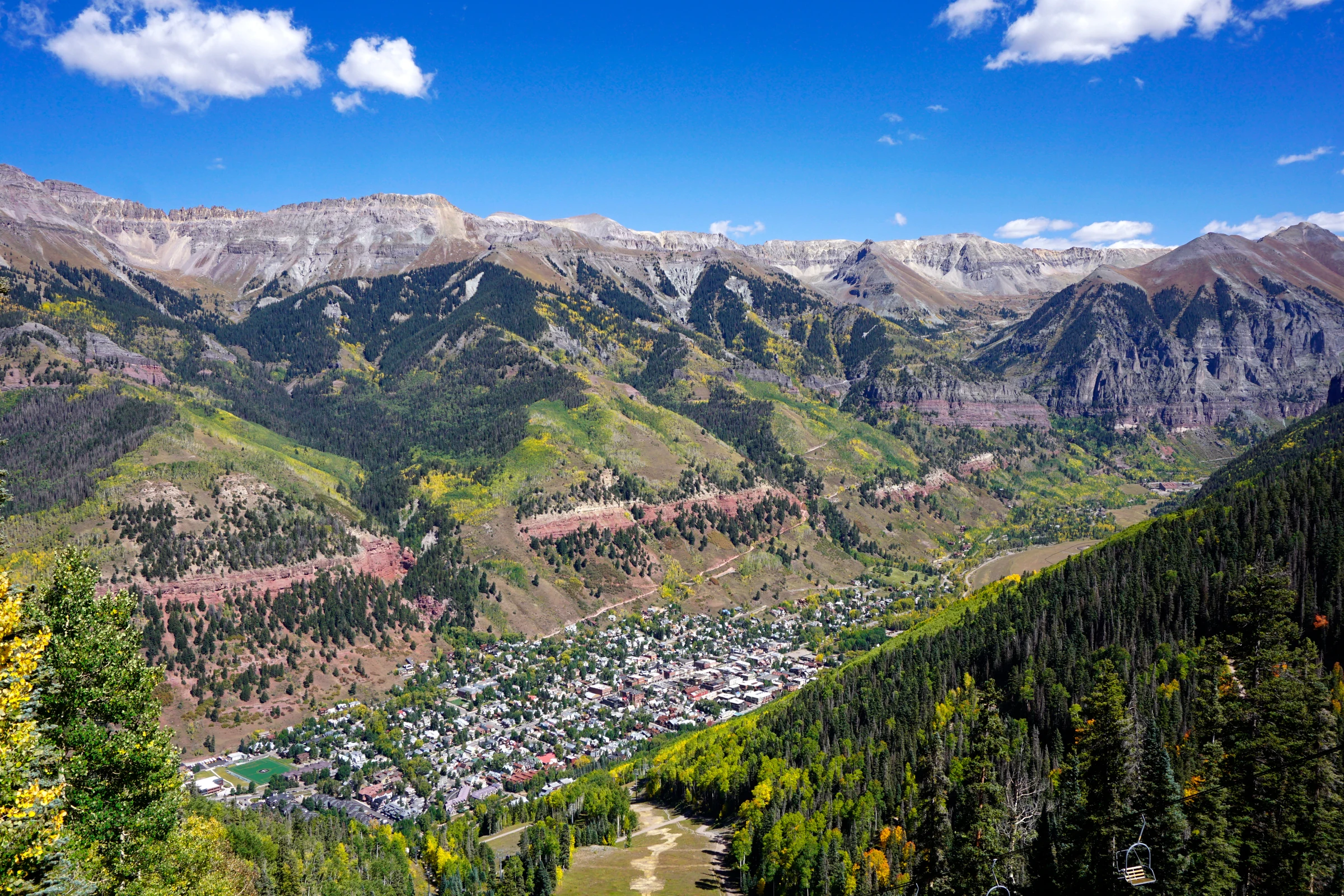
Prosser and the Yakima Valley A broad view over Prosser, vineyards, orchards, and the lower Yakima Valley where the K75 journey begins.
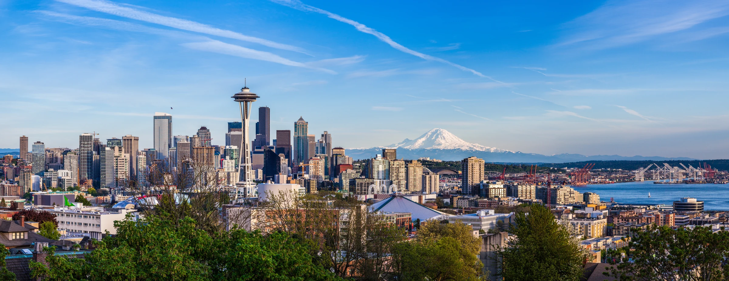
Seattle departure Representative Seattle view for the motorcycle pickup and start of the west-to-east trip.
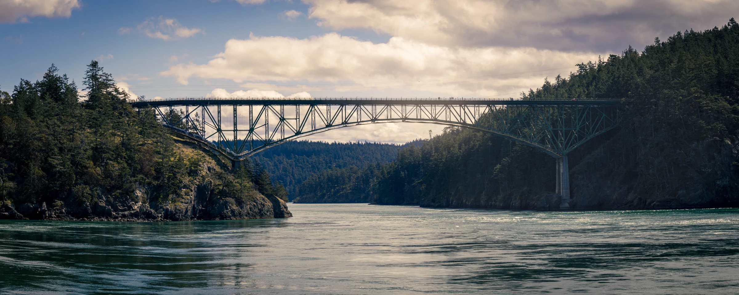
Deception Pass The bridge and saltwater narrows connecting Whidbey and Fidalgo islands.
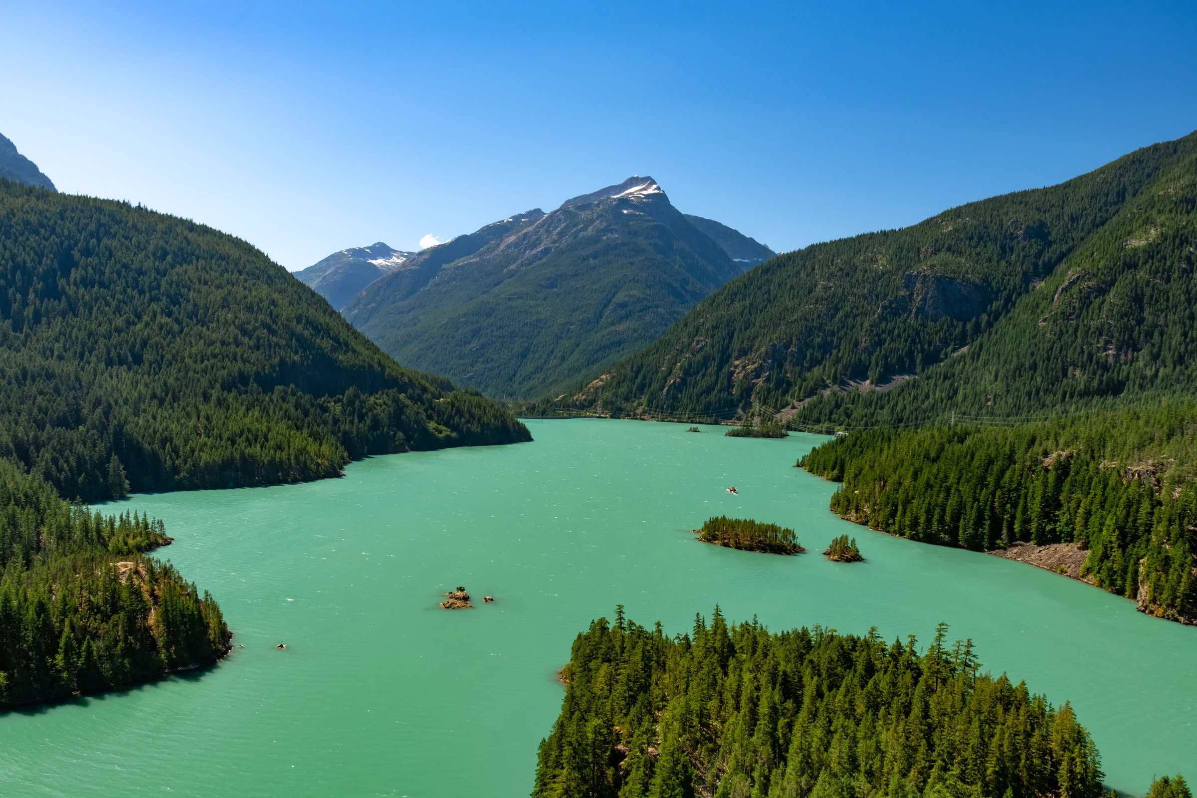
Diablo Lake Turquoise water surrounded by the steep North Cascades.
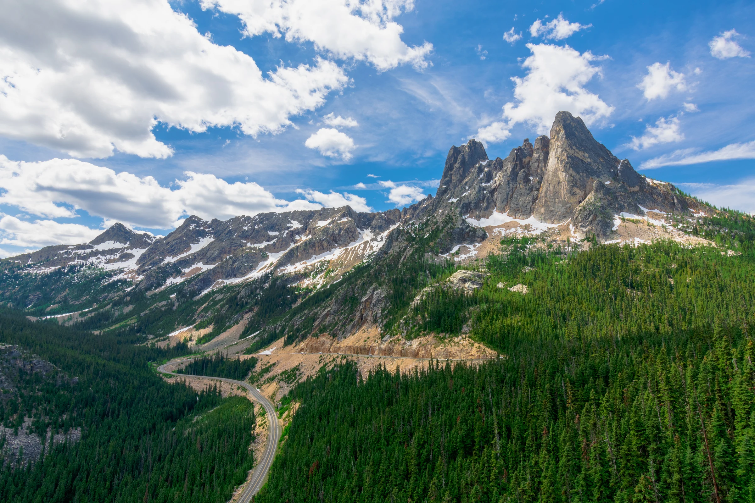
Washington Pass The high North Cascades crossing and its granite peaks.
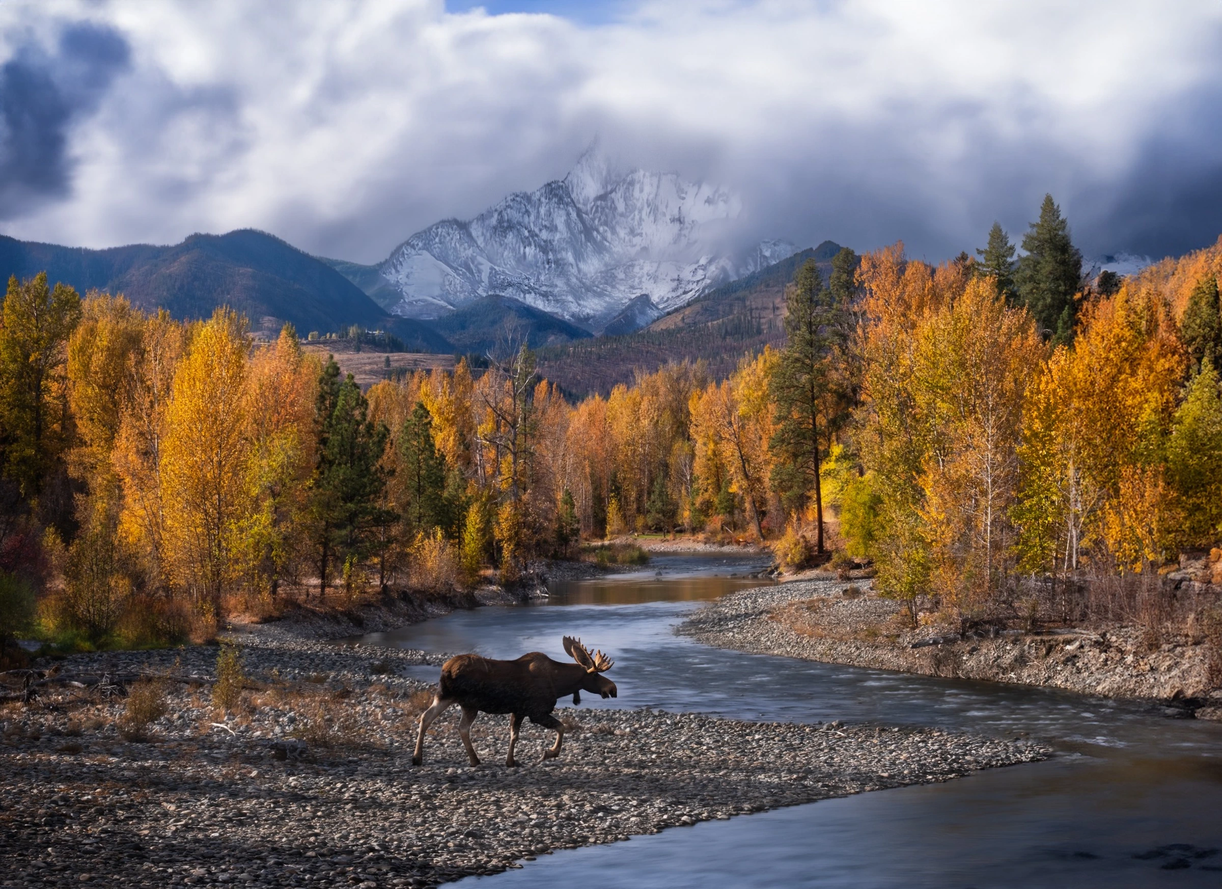
Winthrop A moose in an autumn mountain landscape representative of the North Cascades and Methow Valley near Winthrop.
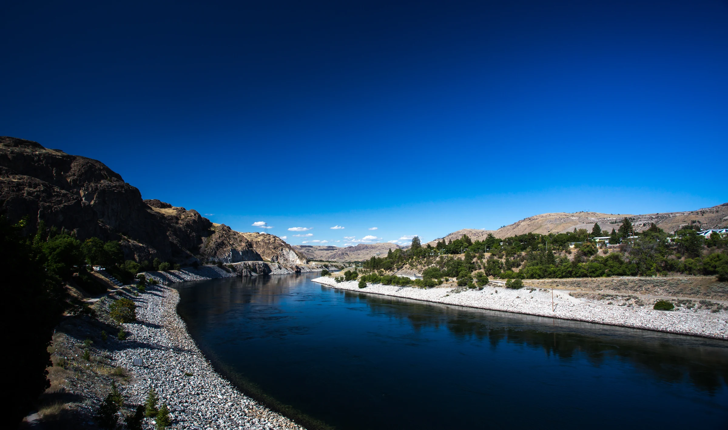
Grand Coulee Dam The immense concrete dam spanning the Columbia River.
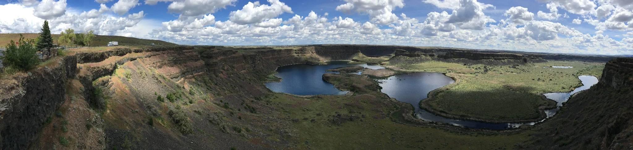
Dry Falls The enormous abandoned cataract carved by Ice Age floods.
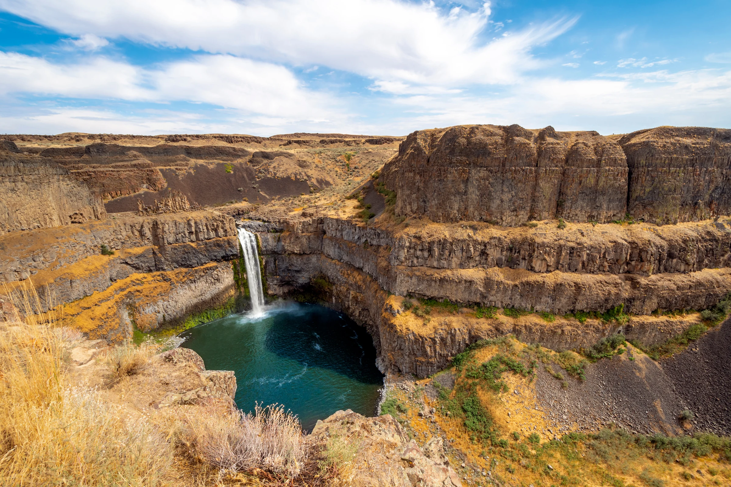
Palouse Falls Washington's state waterfall dropping into a basalt amphitheater.
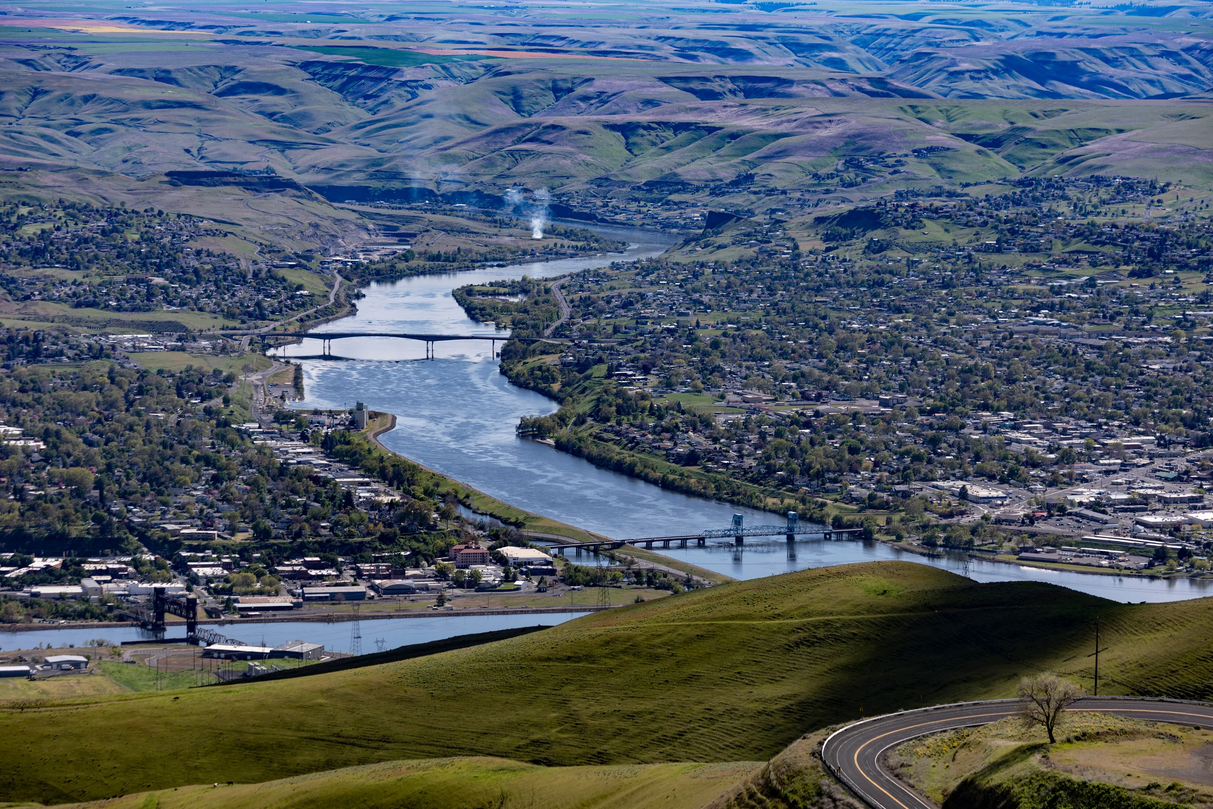
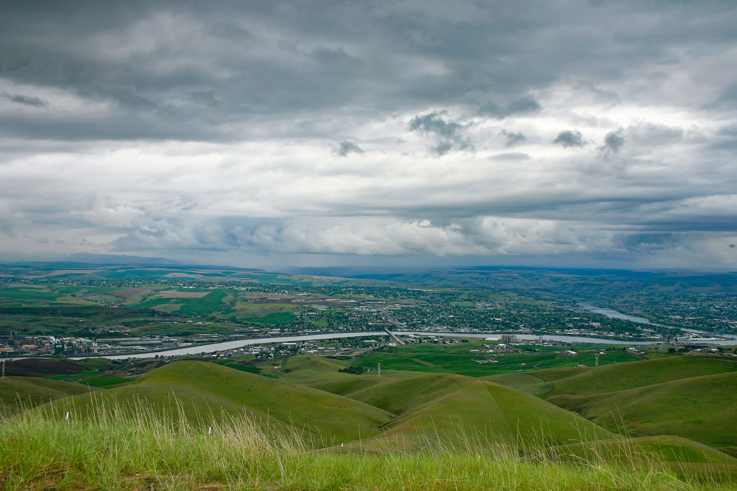
Lewiston and the Clearwater The confluence city and western gateway to the Clearwater-Lochsa corridor.
Kooskia Small Idaho service stop at the meeting of the Clearwater river forks.
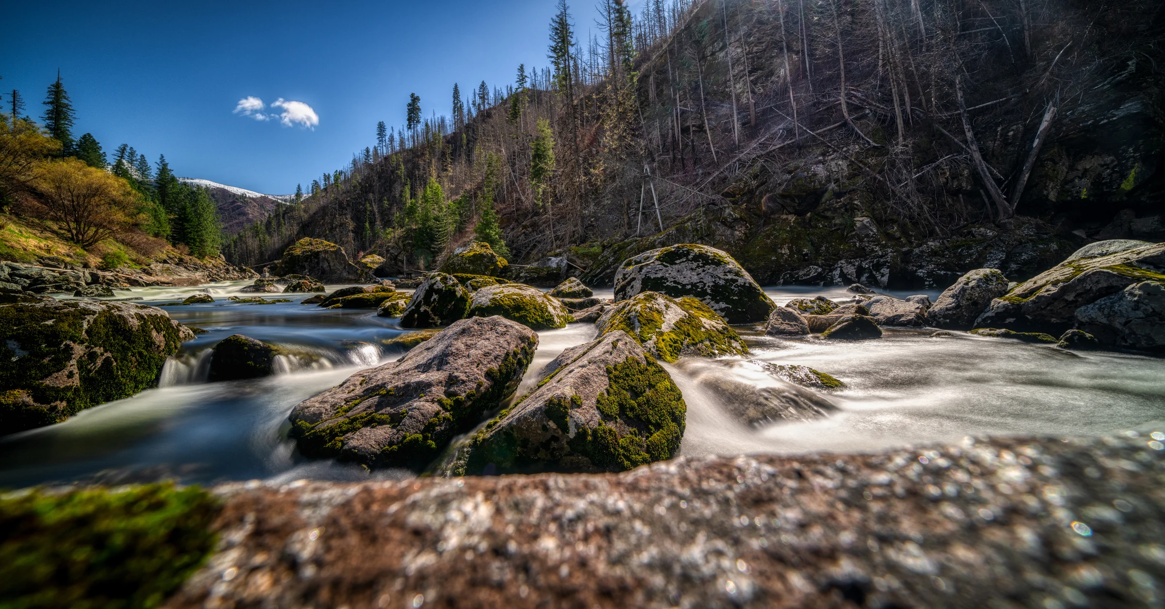
Lochsa River corridor The forested river corridor beside US 12 and Lochsa Lodge.
Lolo Pass The Bitterroot crossing on the Idaho-Montana border.
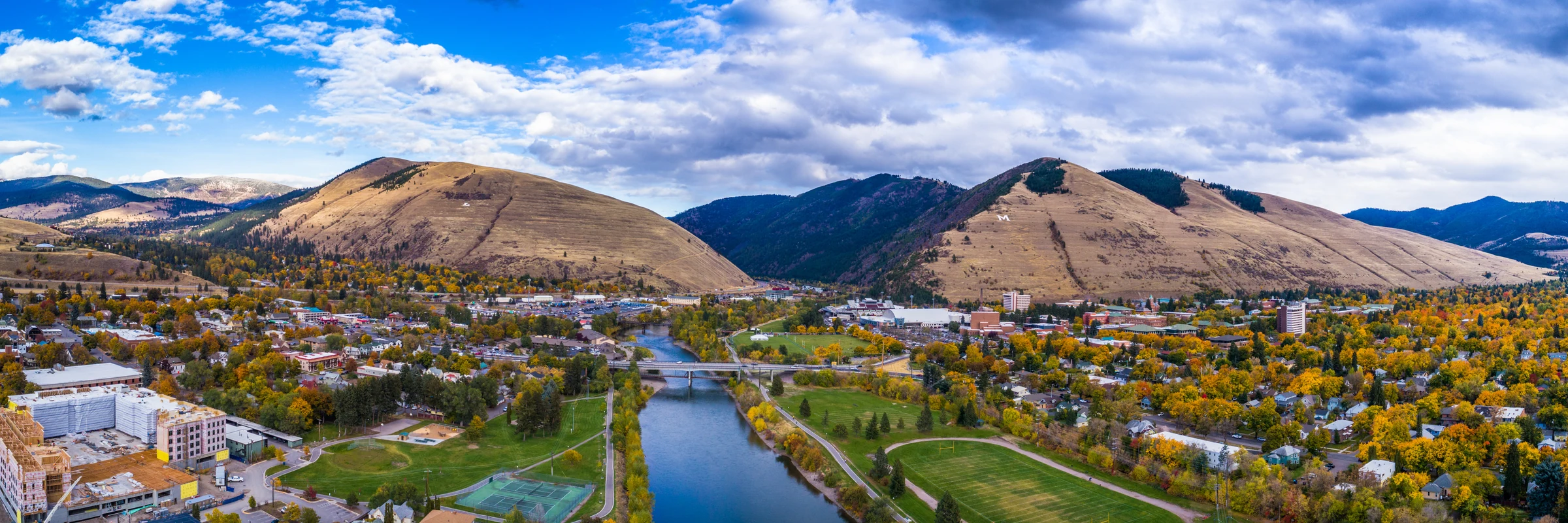
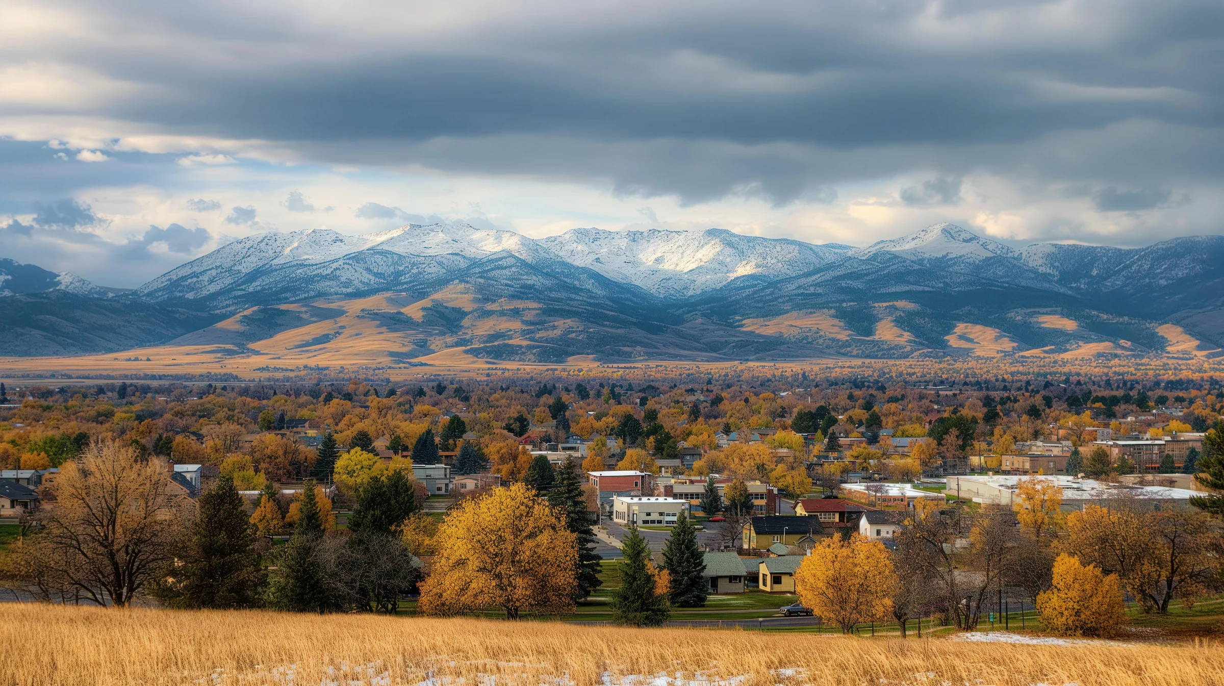
Missoula The Clark Fork valley city and major western Montana resupply point.
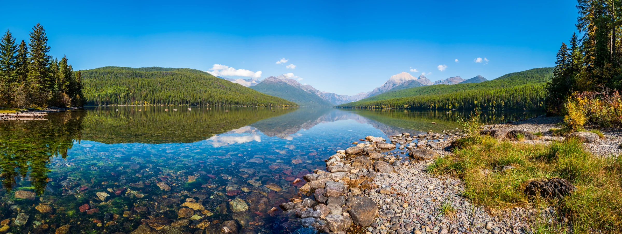
Flathead Lake Broad mountain lake views on the approach to Glacier country.
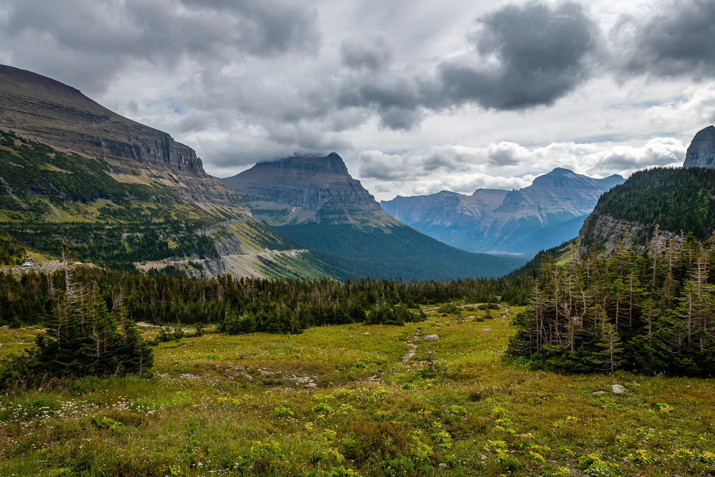
Going-to-the-Sun Road Glacier National Park's cliff-hugging alpine road.
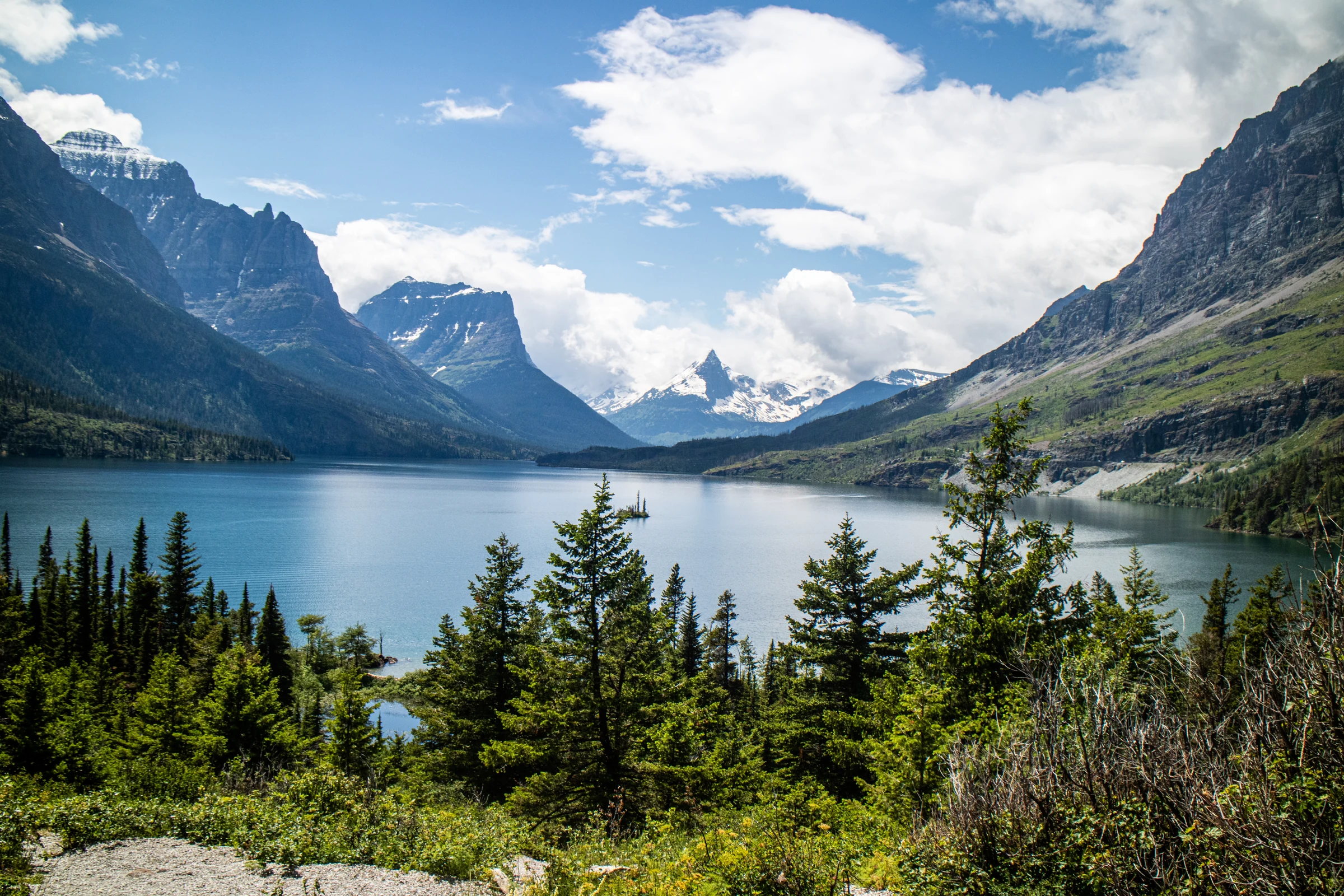
Saint Mary Lake Glacier's long eastern lake framed by steep peaks.
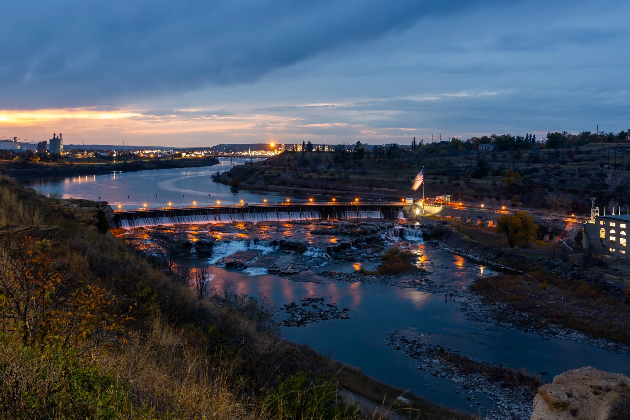
Great Falls Missouri River city and practical recovery stop.
Red Lodge Historic mountain town at the foot of the Beartooth Highway.
Beartooth Highway High-alpine switchbacks, snowfields, and broad plateau views.
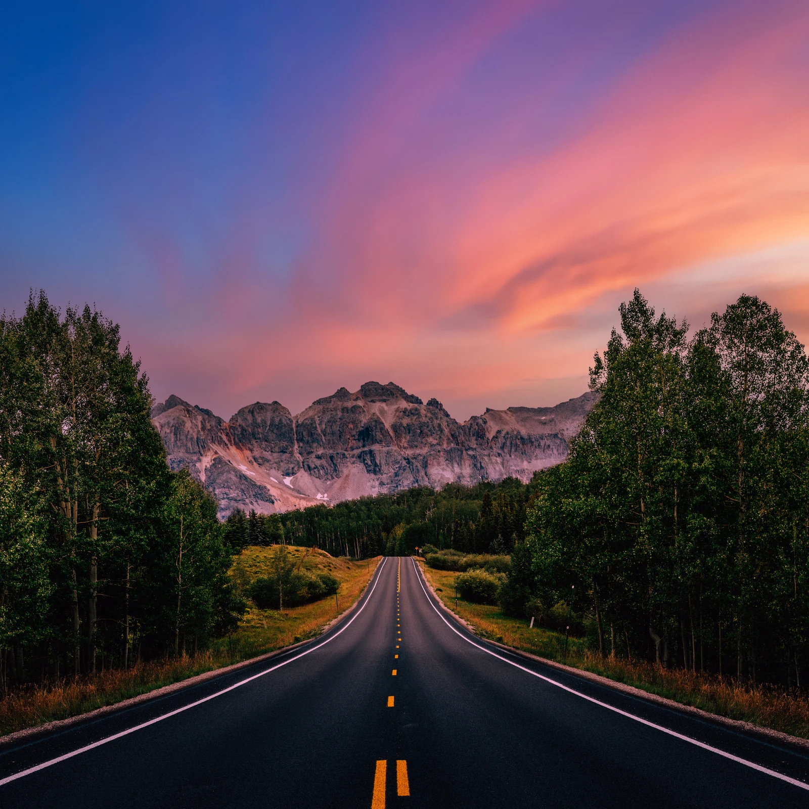
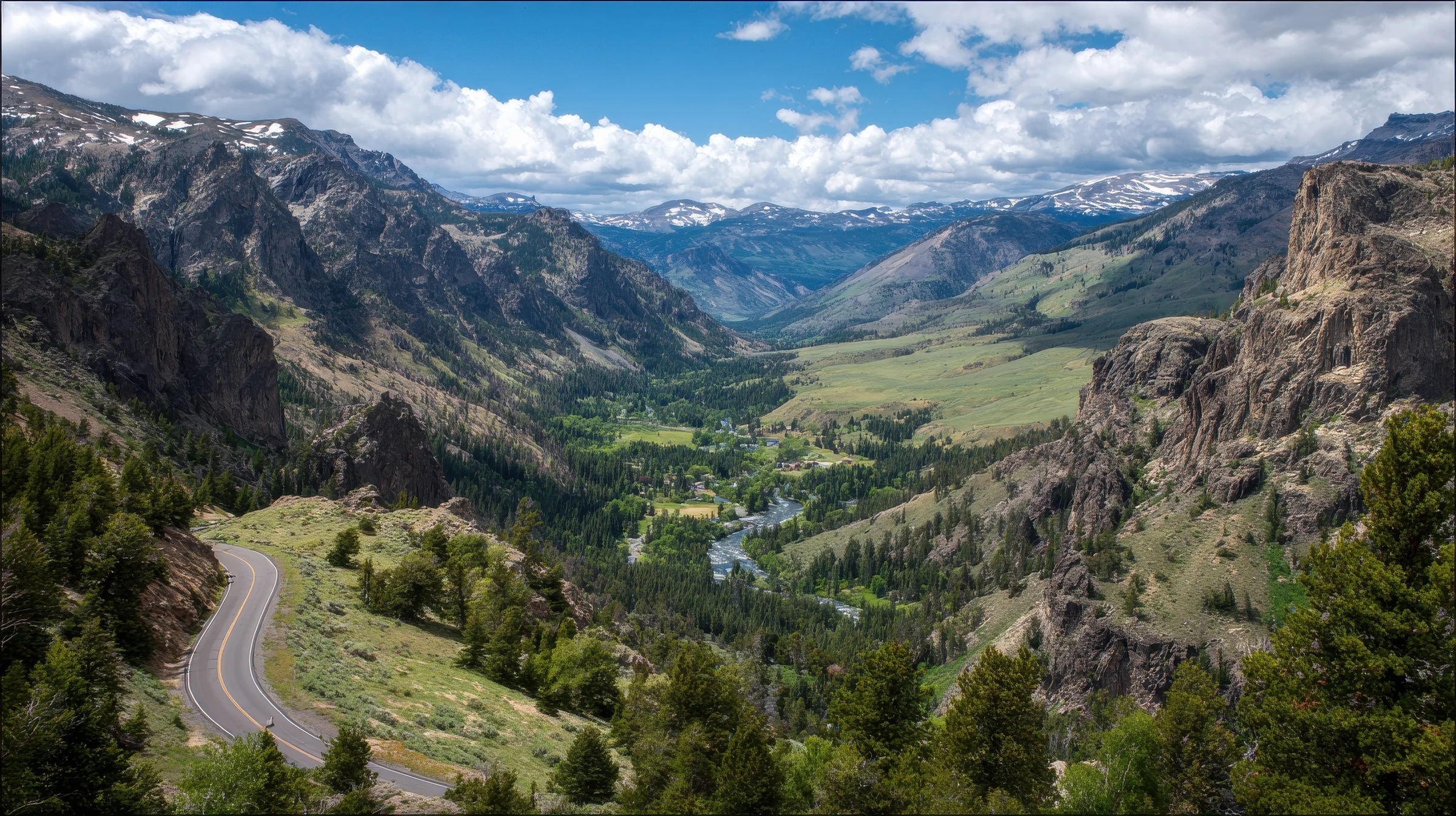
Chief Joseph Scenic Byway The sweeping route between the Beartooth corridor and Cody.
Cody Western-history town and Yellowstone's eastern gateway.
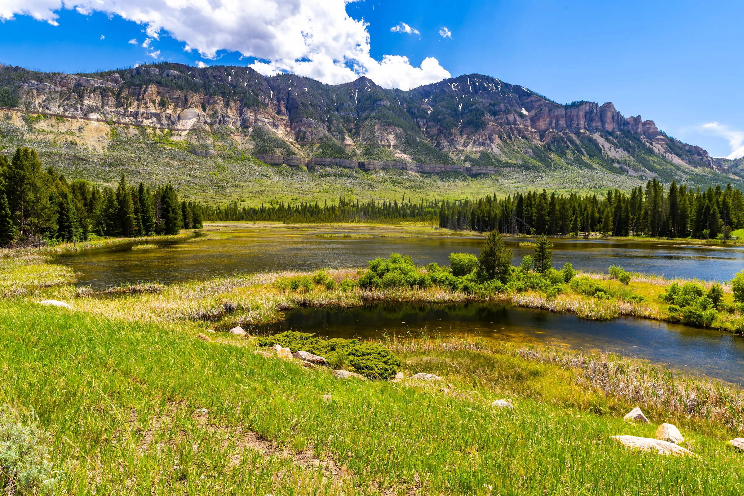
Yellowstone Lake The immense high-elevation lake in Yellowstone National Park.
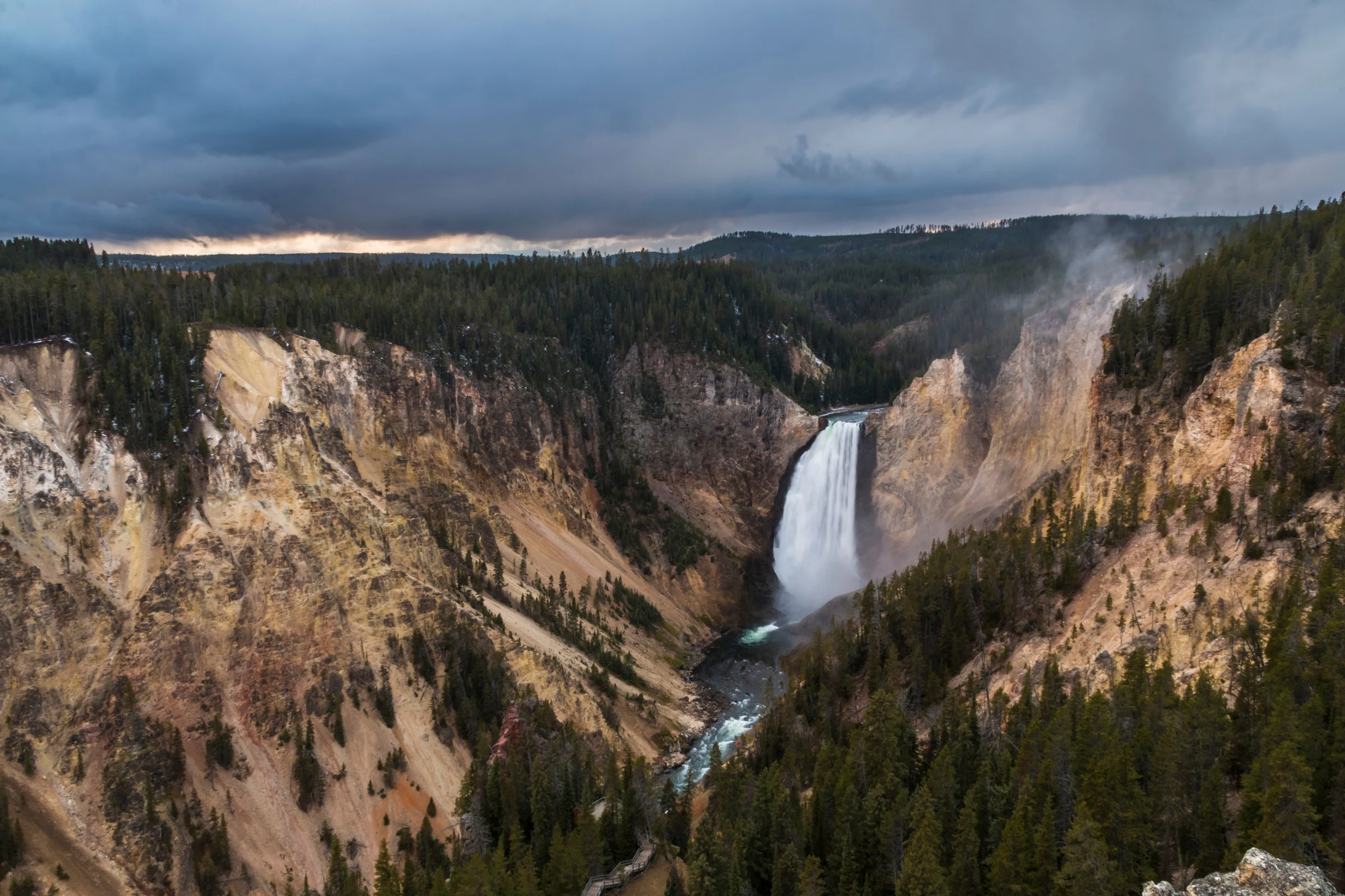
Grand Canyon of the Yellowstone Yellow rock walls and the Yellowstone River's major waterfalls.
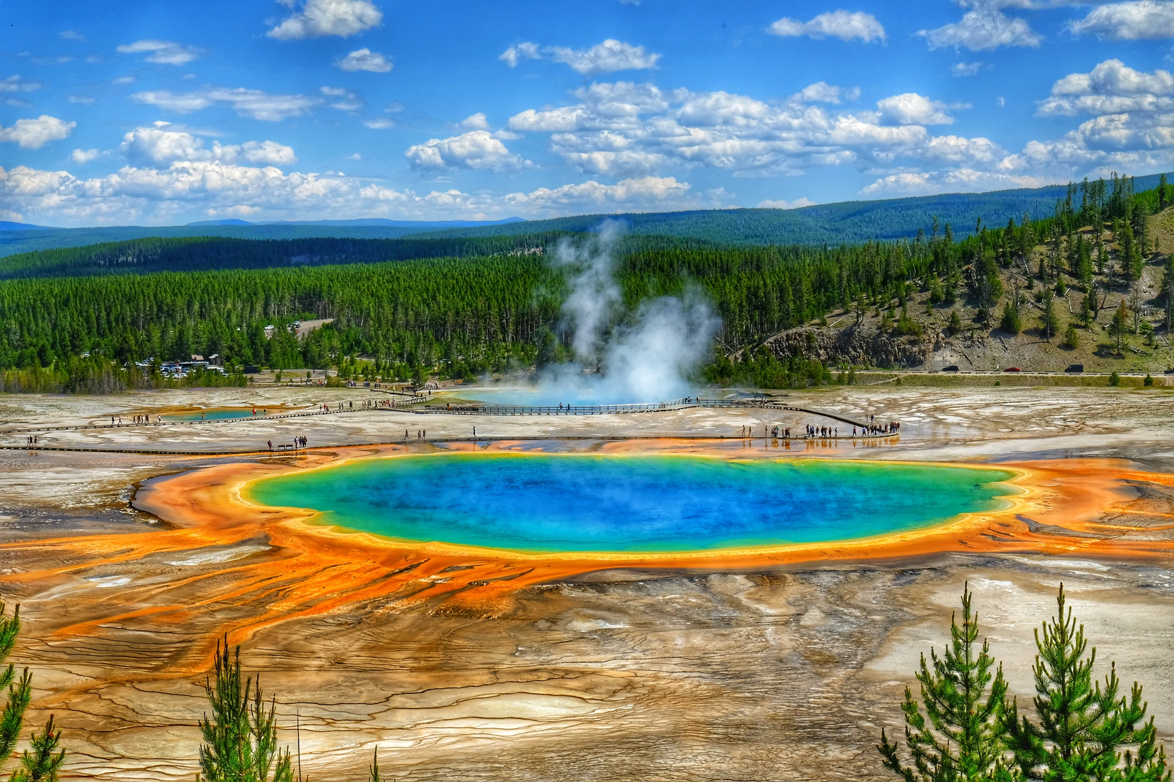
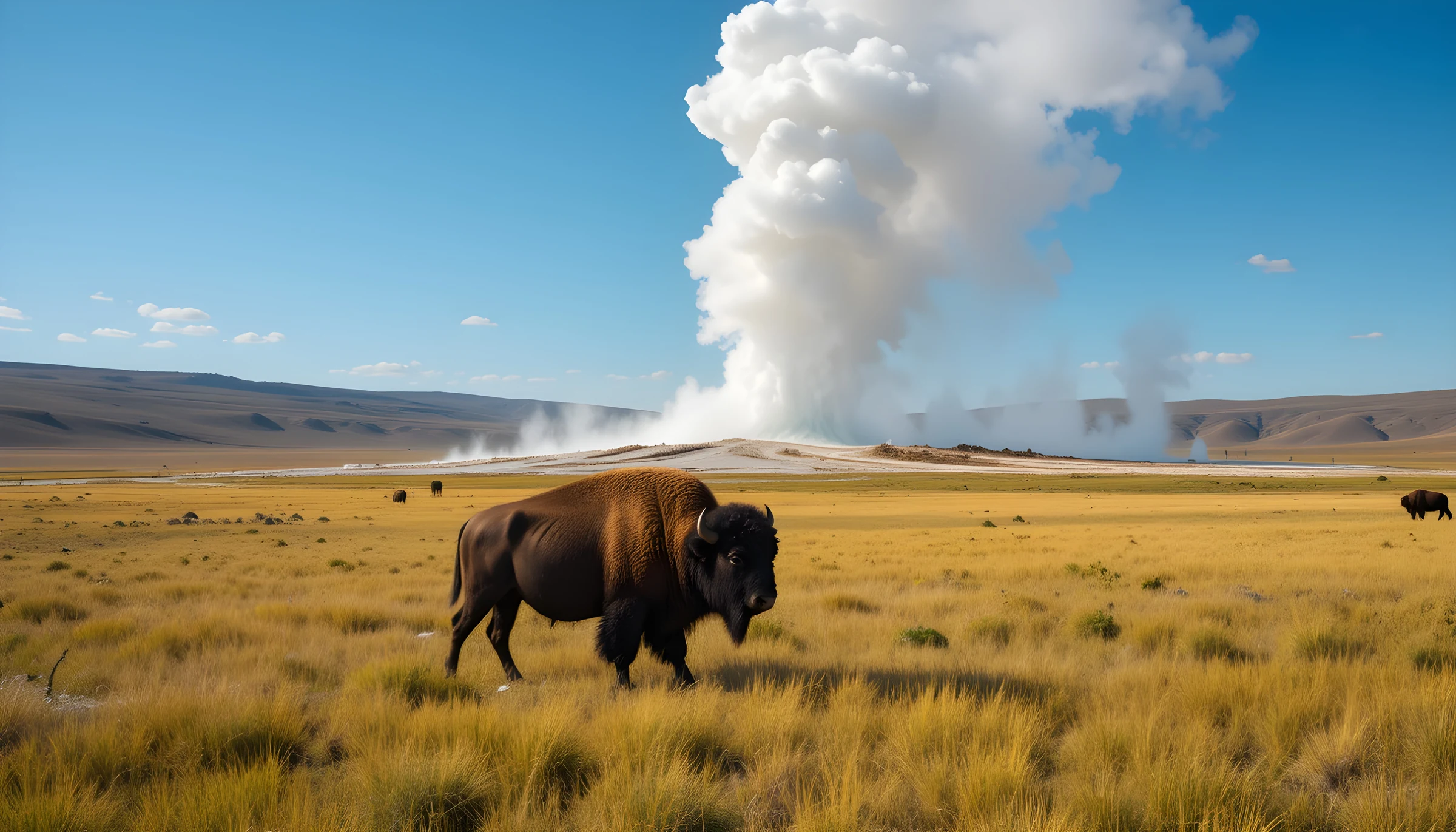
Old Faithful Yellowstone's best-known predictable geyser.
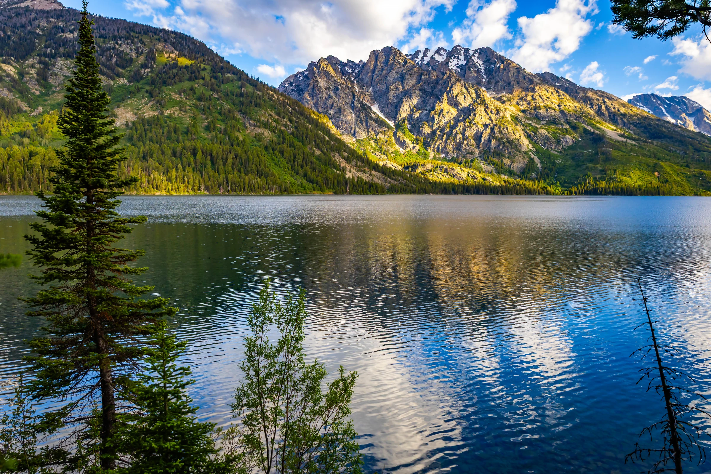
Jenny Lake and the Tetons The Teton Range rising sharply beyond Jenny Lake.
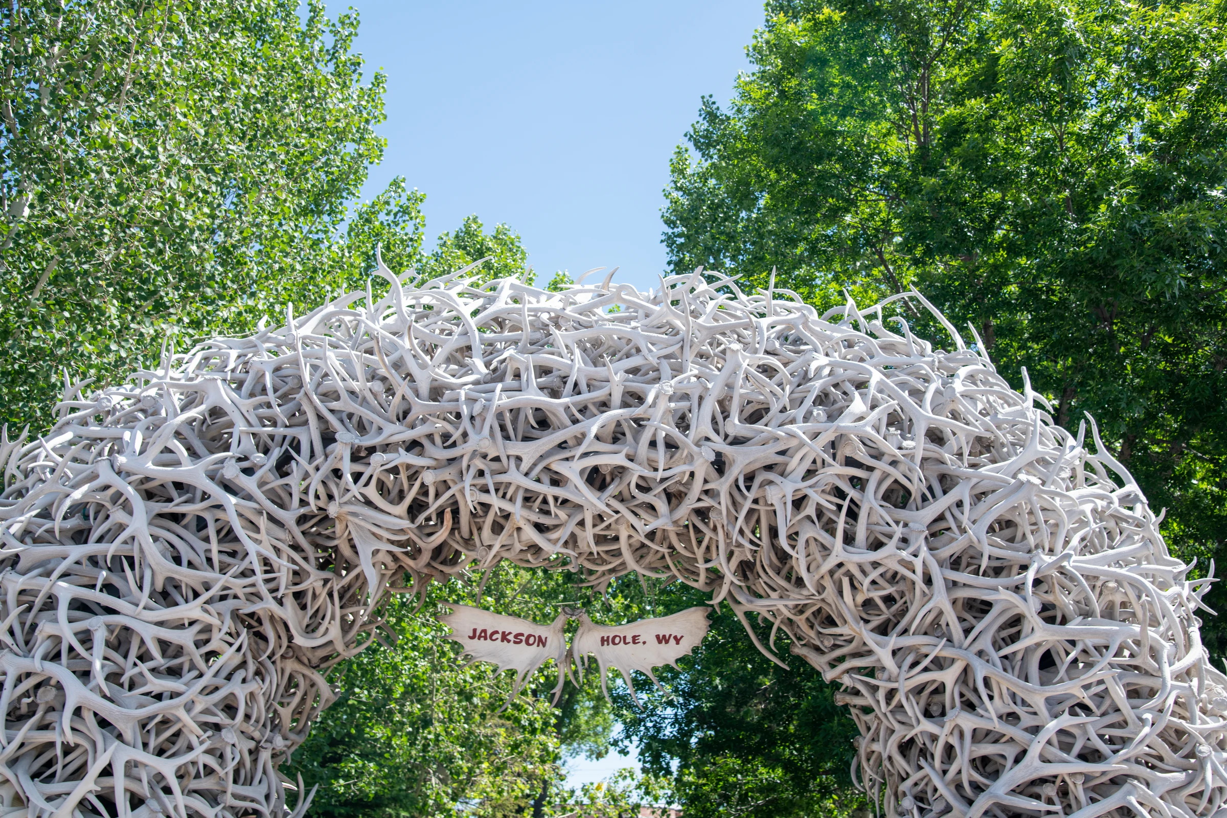
Jackson The town square and service center south of Grand Teton.
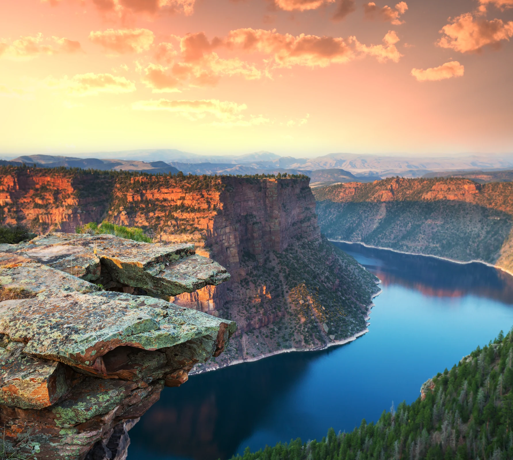
Flaming Gorge Red-rock canyon walls surrounding the reservoir.
Steamboat Springs Northern Colorado mountain town and overnight recovery stop.
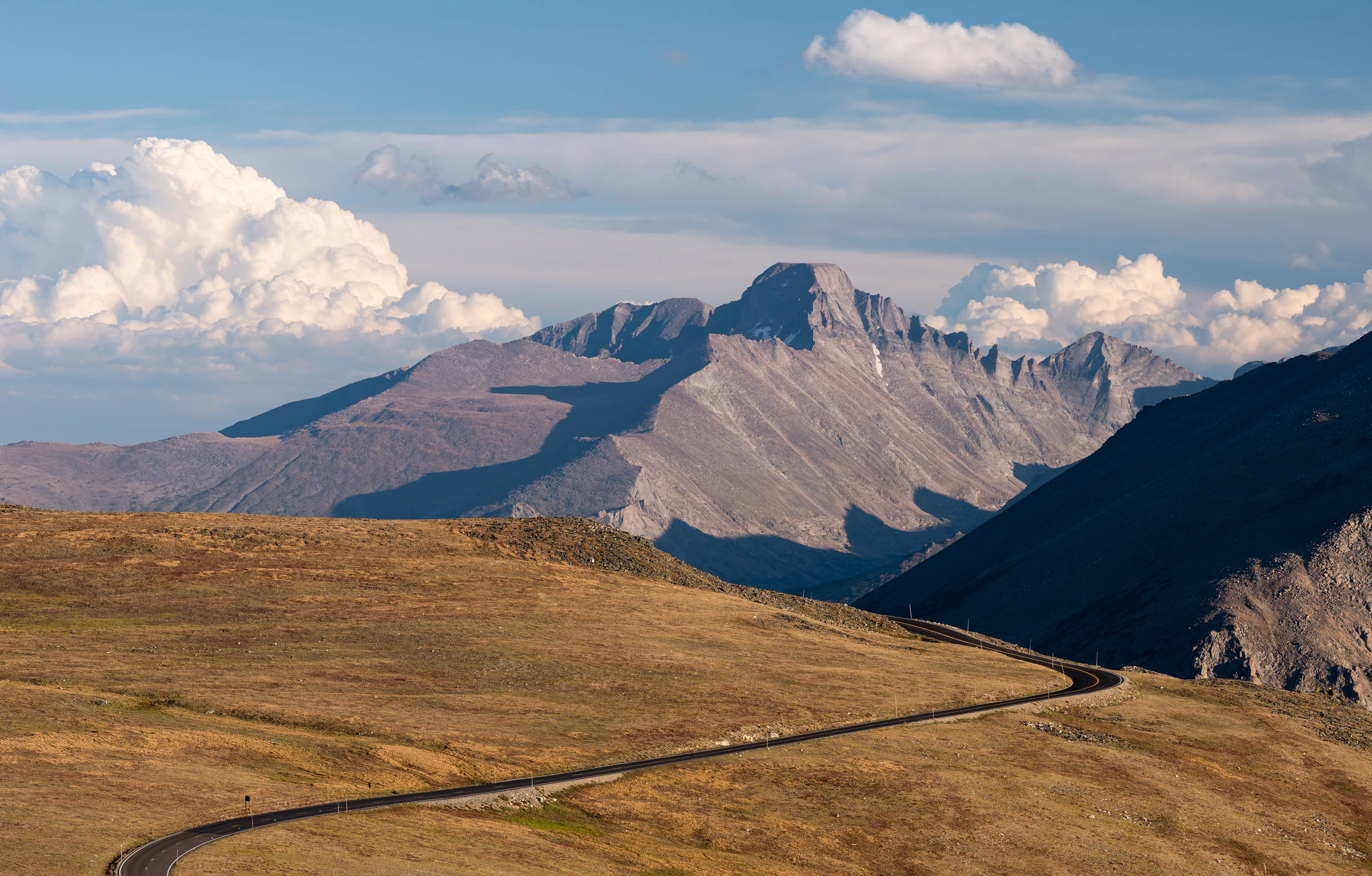
Trail Ridge Road Rocky Mountain National Park's high tundra crossing.
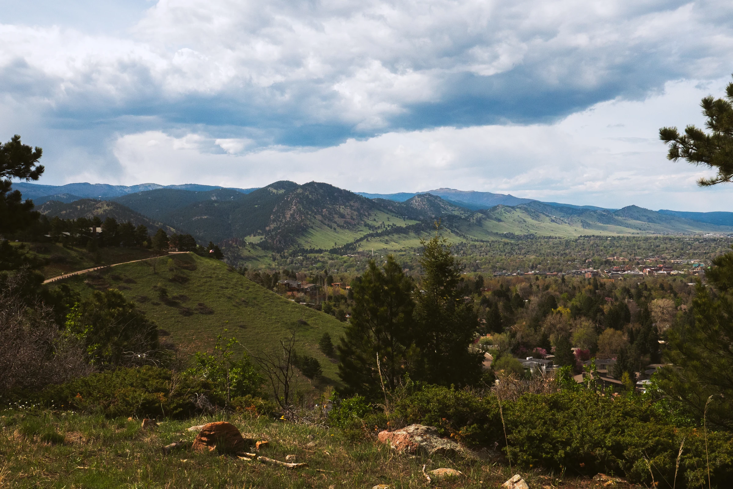
Boulder The Front Range city beneath the Flatirons.
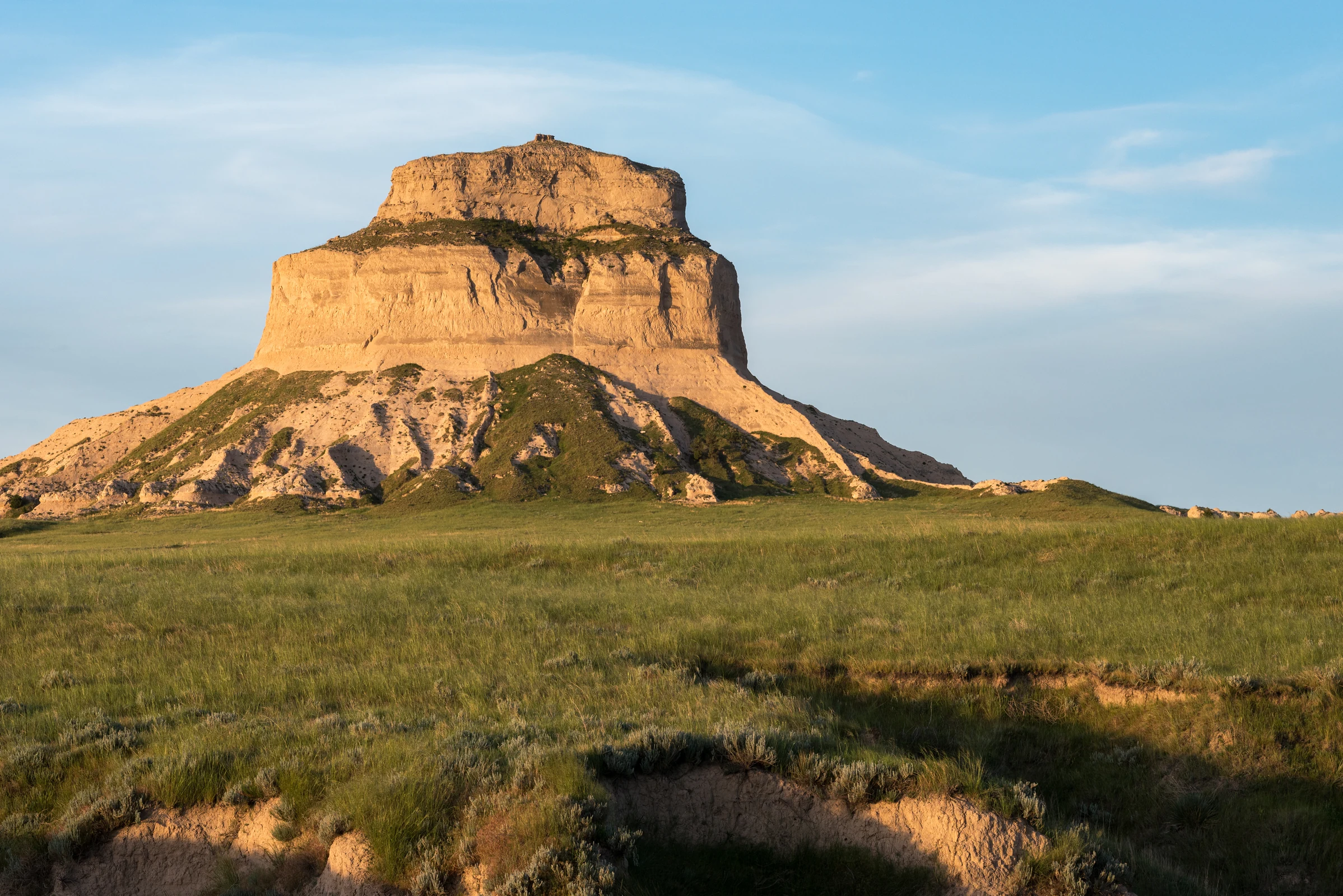
Scotts Bluff The towering bluff above the historic overland trails.
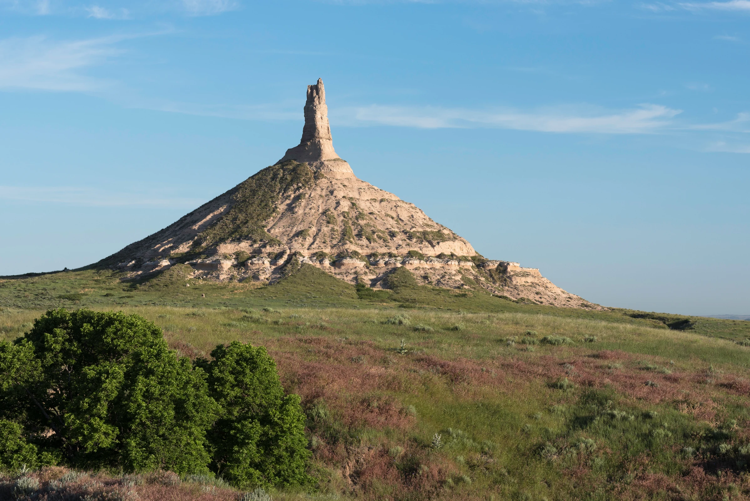
Chimney Rock The slender pioneer landmark rising from the Nebraska prairie.
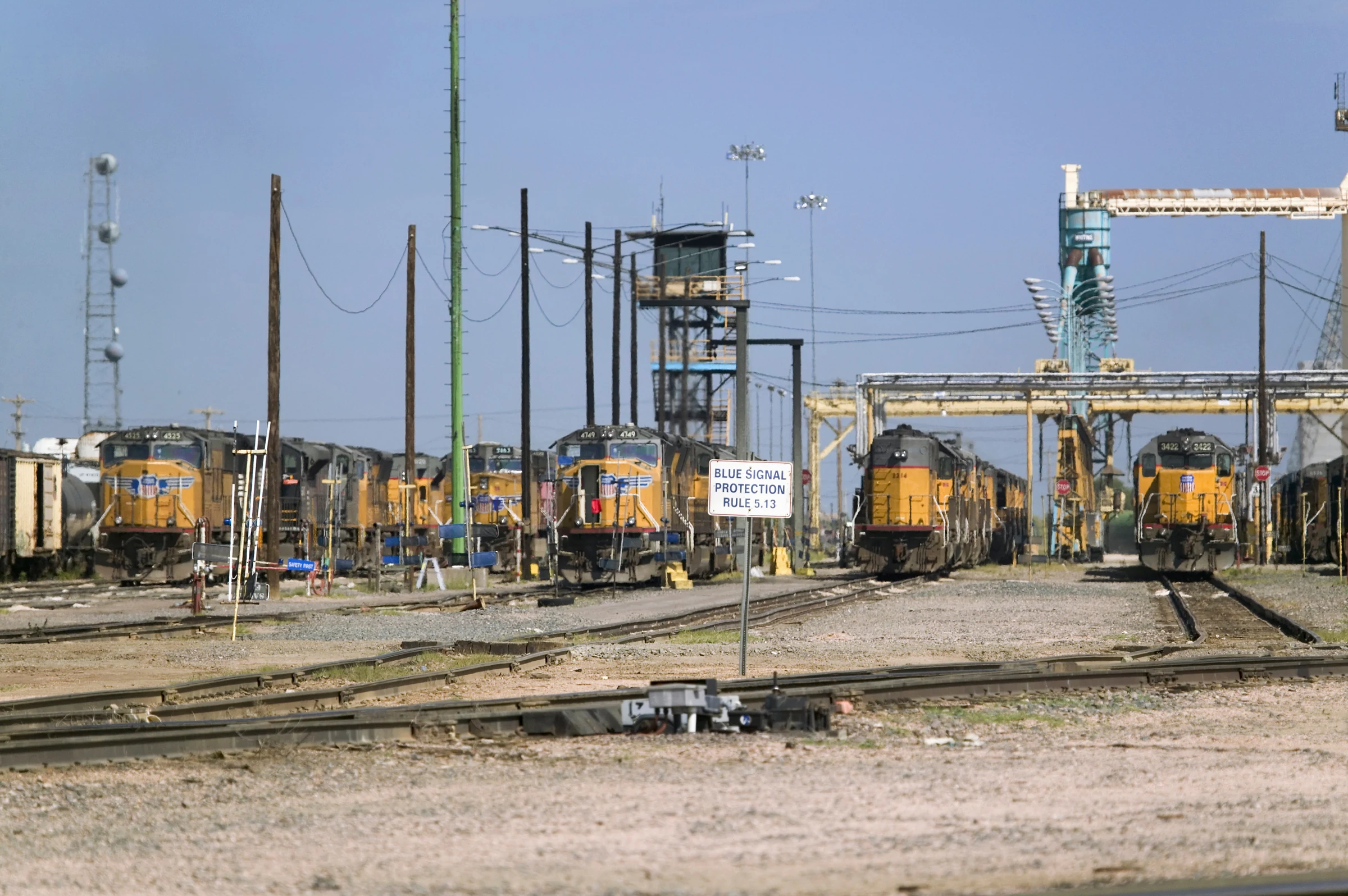
Bailey Yard Union Pacific's vast classification yard viewed from North Platte.
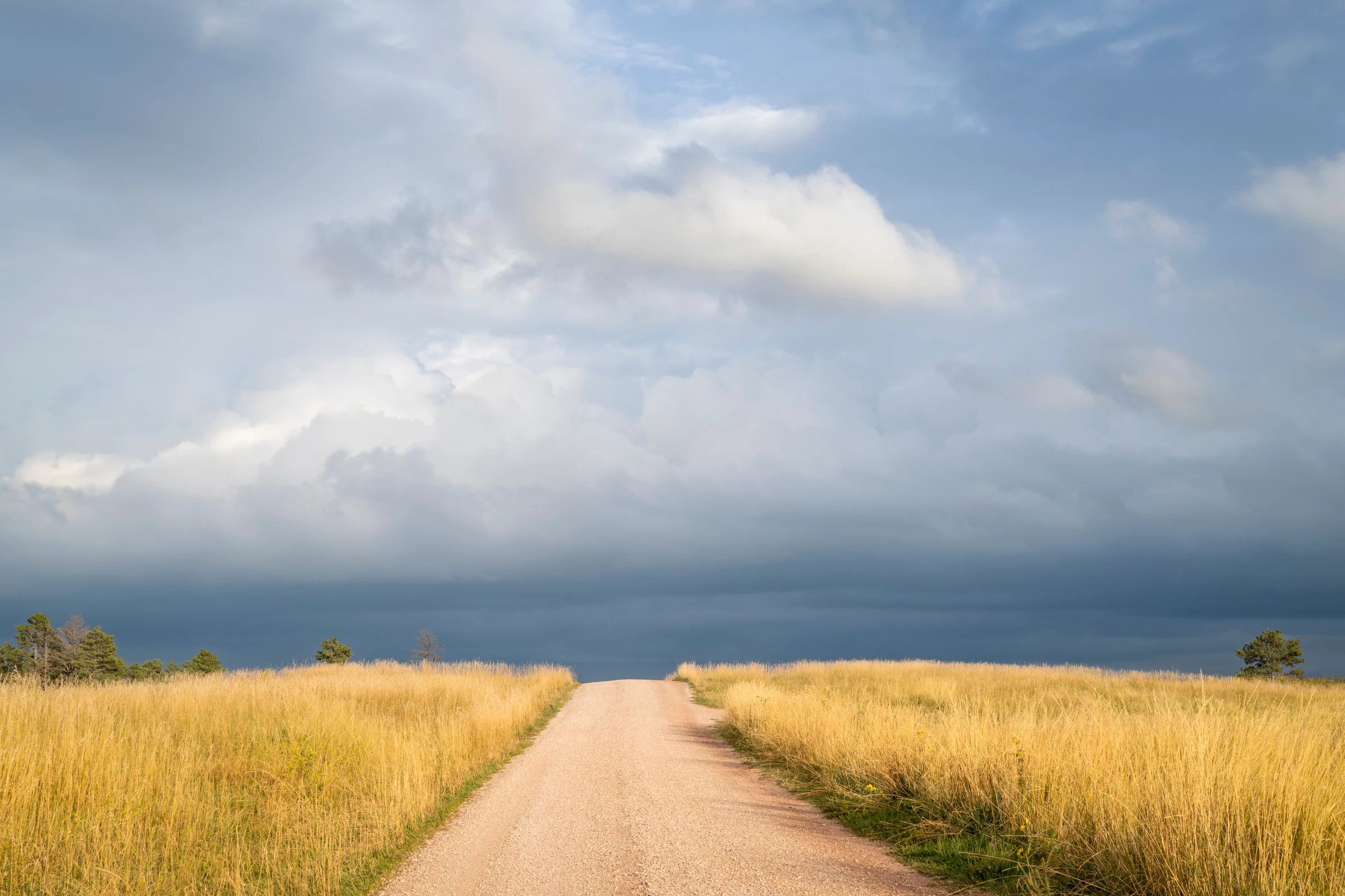
Nebraska Sandhills Grass-covered dunes and immense open skies.
Broken Bow The eastern Sandhills town along Nebraska Highway 2.
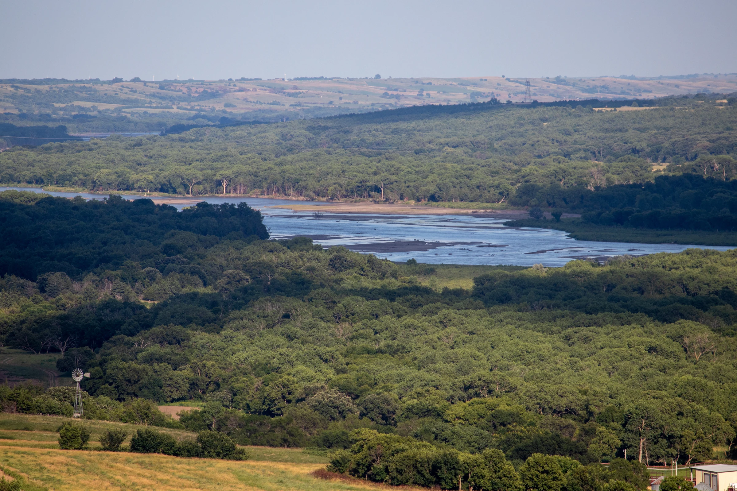
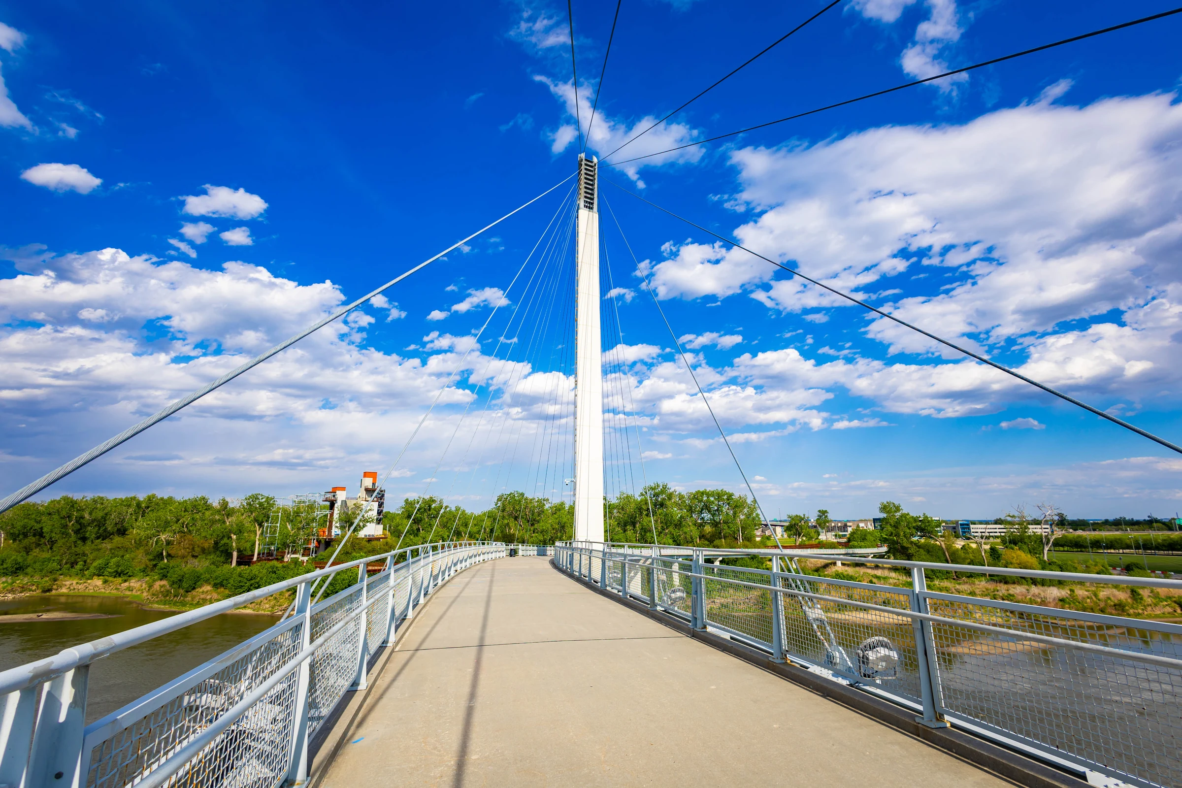
Omaha Missouri River city and major Great Plains resupply stop.
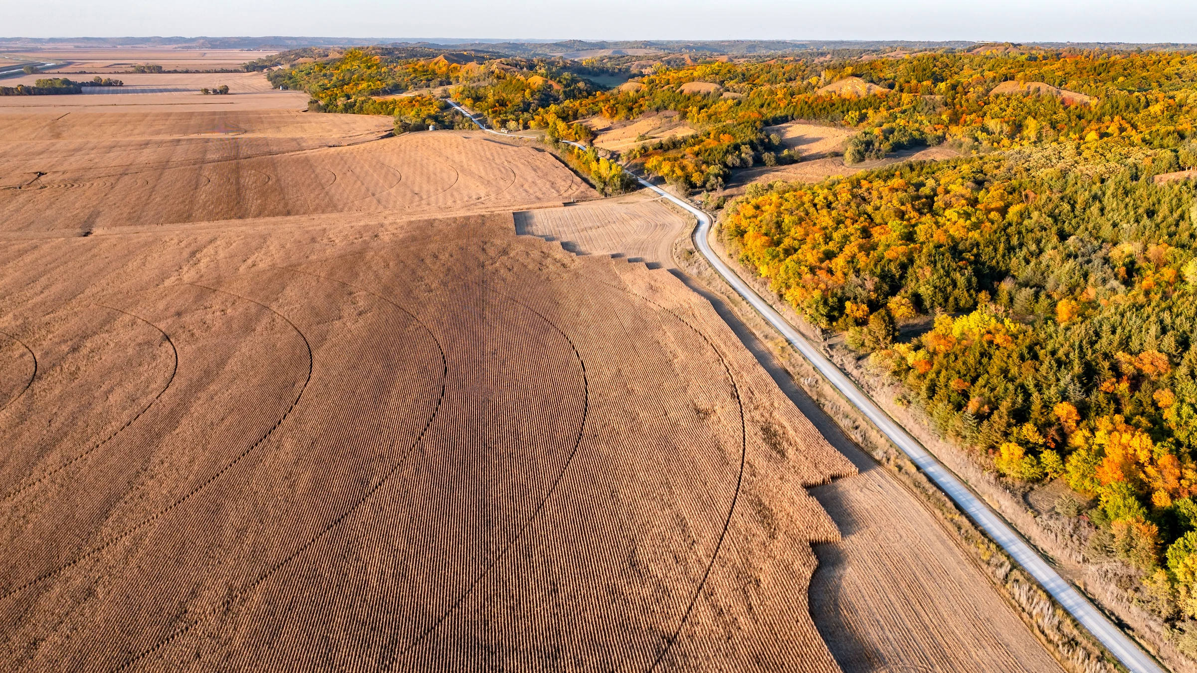
Loess Hills Narrow windblown ridges along Iowa's western edge.
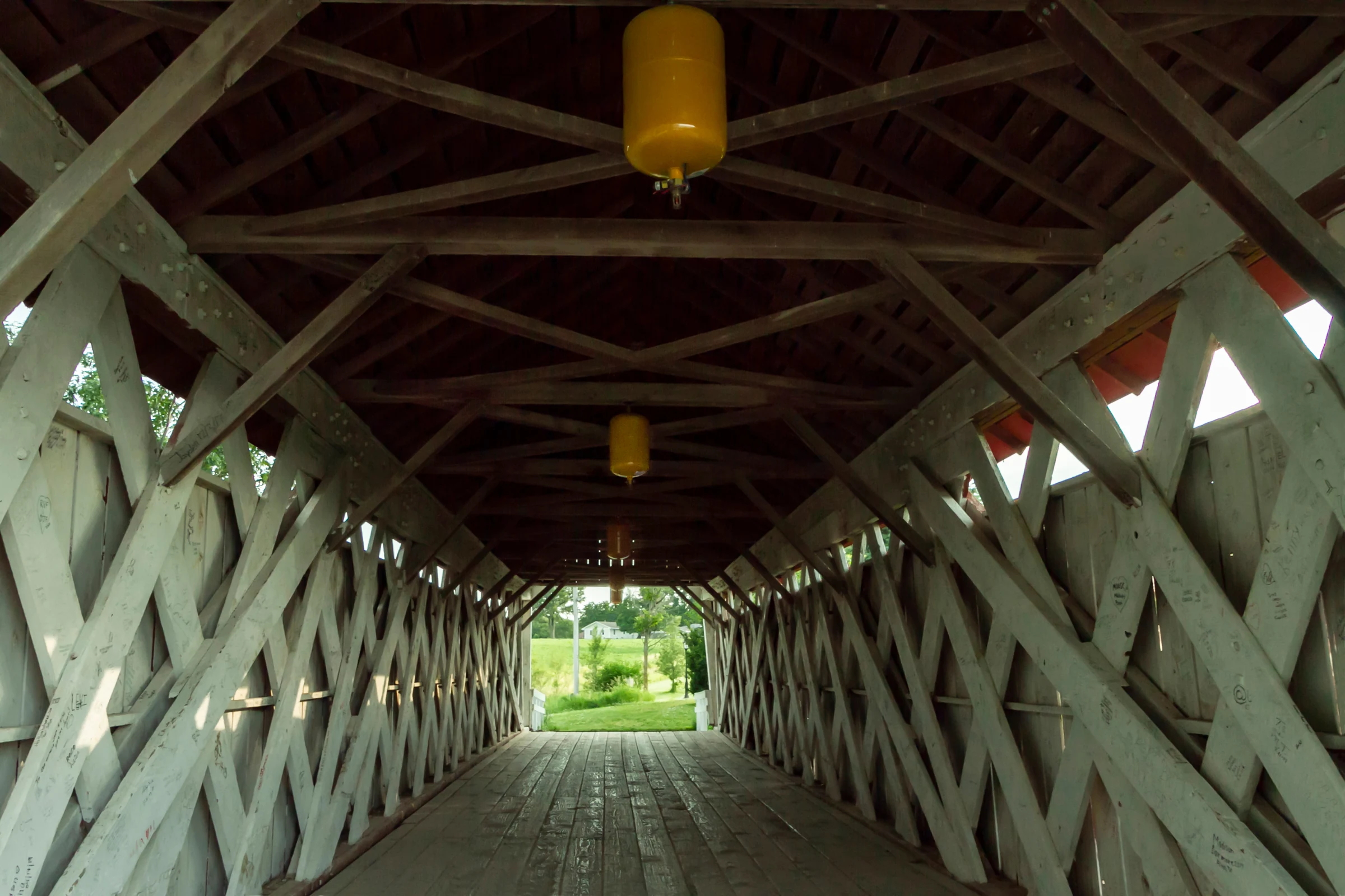
Madison County covered bridge One of the historic covered bridges around Winterset.
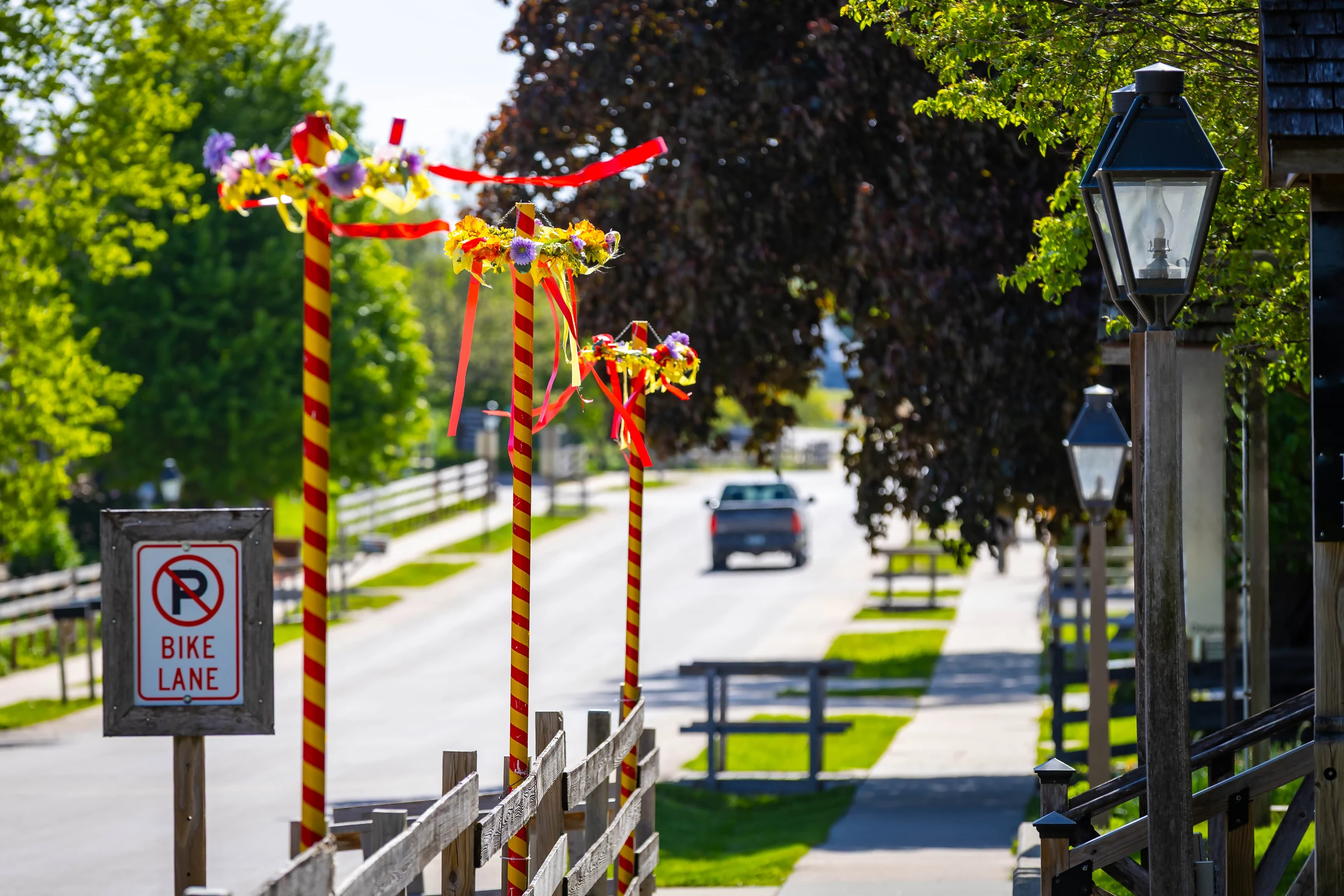
Amana Colonies Historic German communal villages and preserved architecture.
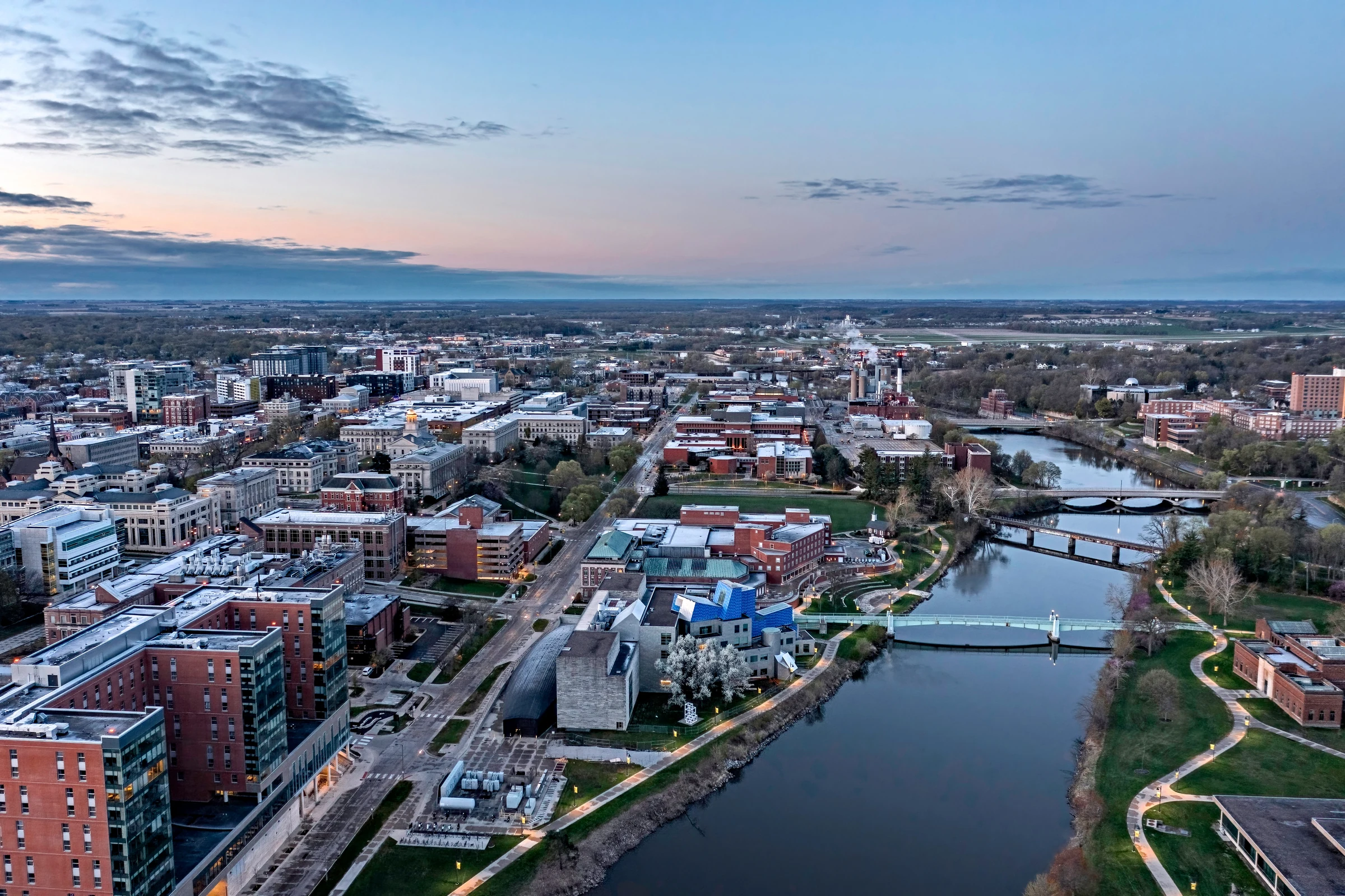
Iowa City finish The Old Capitol at the symbolic end of the journey.
K75 Prosser → Iowa City
Start: Prosser, Washington — K75 pickup Seattle service stop: Vallantine Motor Works Finish: Iowa City, Iowa Stops: 41 route-defining waypoints Adobe photographs assigned: 41 of 41
Route phases
■ Pacific Northwest
■ Northern Rockies
■ Greater Yellowstone
■ Central Rockies
■ Great Plains
■ Iowa Finish
The colored lines connect route-defining locations but are not turn-by-turn routing.
Build the actual daily route in Garmin Tread, onX, BaseCamp, Furkot, or another navigation engine.
Verify pass openings, wildfire and smoke, construction, park access, weather, fuel range,
lodging, tire condition, and daylight shortly before travel.
All route photographs are locally optimized derivatives of images licensed through the user's Adobe Stock account. No public-image scraping is used.